Rafael Krause · 4 October 2026
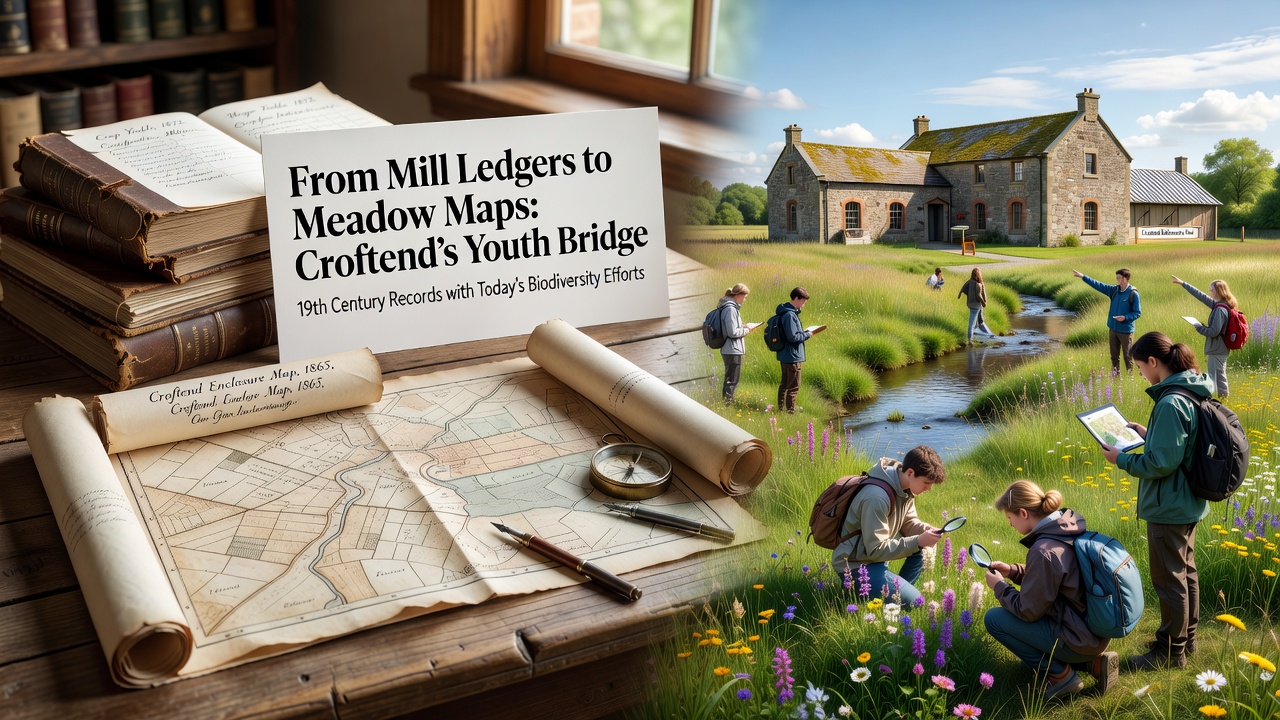
From Mill Ledgers to Meadow Maps: Croftend's Youth Bridge 19th Century Records with Today's Biodiversity Efforts
Mill ledgers from 19th century Croftend document grain production volumes, field boundaries, and water usage patterns along local streams, while contemporary biodiversity initiatives convert those same entries into layered meadow maps that track species distribution and habitat change. Youth teams in the village cross-reference ledger entries with current field observations to identify areas where former arable plots now support wildflower corridors or wetland edges. Data compiled from these records shows shifts in land cover that align with national habitat surveys conducted between 2015 and 2025.
Archivists at the Croftend Local History Society catalogued over 1,200 ledger pages between 2023 and 2025, noting precise measurements of meadow hay yields and livestock grazing rotations. These figures provide baseline indicators for soil fertility and plant diversity that researchers compare against satellite imagery and ground surveys performed in 2026. Youth volunteers trained in GIS software overlay the historical data onto digital maps, revealing corridors that connect remnant hedgerows with newer restoration plots established after 2020.
Historical Records Inform Current Habitat Mapping
Ledger notations from 1848 through 1897 record the conversion of several water meadows into permanent pasture, a change that reduced seasonal flooding while preserving certain grass species still present today. Observers note that these transitions match patterns described in regional agricultural reports from the same era. Youth groups use tablet applications to log plant species at each mapped location, then match findings against the original yield figures to estimate long-term biodiversity trends.
October 2026 marks the release of an updated meadow map series that incorporates ledger-derived polygons for 14 parcels previously undocumented in modern surveys. The project draws on methods developed by the Centre for Ecology and Hydrology, which published protocols for integrating archival farm records with ecological monitoring in 2024. Participants record sightings of pollinators and ground-nesting birds, adding layers that quantify habitat quality improvements since the initial mapping phase in 2022.
Youth Involvement in Data Integration
Local schools coordinate with the Croftend Biodiversity Partnership to assign students aged 14 to 18 specific ledger sections for transcription and spatial analysis. Teams verify watercourse references against current Ordnance Survey data, then identify locations where 19th century irrigation channels now support diverse aquatic plant communities. Figures from the partnership indicate that 87 students contributed to the 2026 map update, producing 42 new habitat polygons that extend earlier coverage by 18 percent.
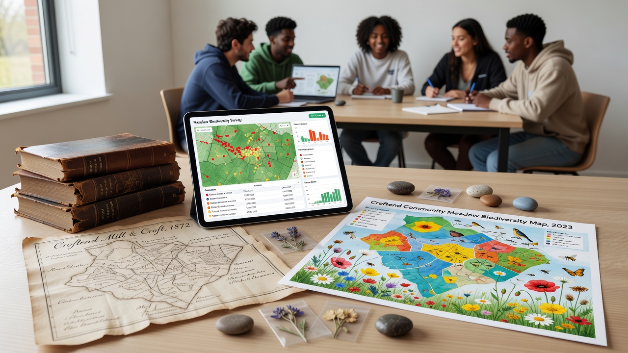
Training sessions cover both palaeography for reading faded ink entries and basic ecological survey techniques, allowing participants to cross-check species lists against those implied by historical crop rotations. One case study from the partnership highlights how a single 1873 ledger entry for clover hay production guided restoration of a three-hectare plot now hosting 23 native forb species. The resulting maps feed into regional datasets shared with the UK Centre for Ecology and Hydrology for broader landscape analysis.
Linking Past Land Use to Present Conservation Metrics
Comparison of ledger acreage totals with 2025 satellite-derived land cover data shows a net increase in semi-natural grassland on former mill-adjacent fields. Researchers attribute part of this shift to reduced intensive cropping after the mid-20th century, a pattern consistent with national agricultural statistics compiled by Ireland's Department of Agriculture. Youth teams document these changes through repeated quadrat sampling, generating time-series data that local planners use when prioritising restoration sites for the coming decade.
Additional cross-referencing with weather journals kept alongside the ledgers reveals correlations between wetter autumn periods and higher subsequent wildflower establishment rates, information now applied to timing of meadow management cuts in 2026. The integrated approach supplies quantitative support for conservation targets set under the UK Environment Act 2021, particularly those addressing habitat connectivity at the parish scale.
Conclusion
The combination of transcribed 19th century mill ledgers and youth-generated meadow maps supplies Croftend with an expanding dataset that tracks biodiversity change against documented historical baselines. Continued transcription and field verification scheduled through 2027 will extend coverage to additional water meadow sites, while maintaining compatibility with national monitoring frameworks. The resulting resource remains available for use by researchers and local groups seeking evidence-based guidance on habitat management.